Weather warning and ‘danger to life’ flood alert issued ahead of Storm Debi
Multiple “danger to life” weather warnings have been issued by the Met Office as Storm Debi is set to hit the UK within hours, bringing heavy rain and severe gale-force winds.
Weather warnings have been issued for large parts of the country, as the fourth storm of the season sweeps across Ireland before reaching northern England and parts of Wales today, with the potential for 130kph gusts in some areas.
The Met Office warned of “danger to life” from flying debris, “fast flowing or deep floodwater”, and large waves in some areas.
An amber warning is in place for Northwest England until 4pm for heavy winds while a yellow warning covers areas including Bangor and St Davids in Wales and Manchester, Sheffield and Liverpool in England.
Those in Aberdeenshire in Scotland face a yellow warning for rain later in the day, from 10am until 9pm.
Meanwhile, Northern Ireland will have a yellow warning for both wind and rain from 3am to 2pm.
It comes after Storms Babet and Ciarán both wreaked havoc across the country over the past couple of months.
Mapped: When and where Storm Debi will hit as Amber warning issued
The alert is active from 10am until 4pm on Monday and covers coastal areas north of Liverpool up to Whitehaven.
The Met Office has warned Brits living in those areas should be wary of solid and disruptive winds with the possibility of flying debris.
Huge swathes of Galway left underwater as Storm Debi strikes last night
At least six people were rescued in Galway as Storm Debi made landfall causing significant damage to Ireland.
Galway is currently under a Status Orange wind warning until 10am this morning.
Speaking to RTÉ’s Morning Ireland, Galway County Council chief fire officer Gerry O’Malley said there is “considerable damage” around the city and county.
Storm Debi knocks out power for 100,000 people
100,000 people were left without power supply on Monday morning as Storm Debi batters Ireland.
Brian Tapley, of ESB Networks, said crews expect to be working “late into the night” to restore power.
He said the worst affected areas are Tuam, Longford, the Midlands, Ashbourne and Navan.
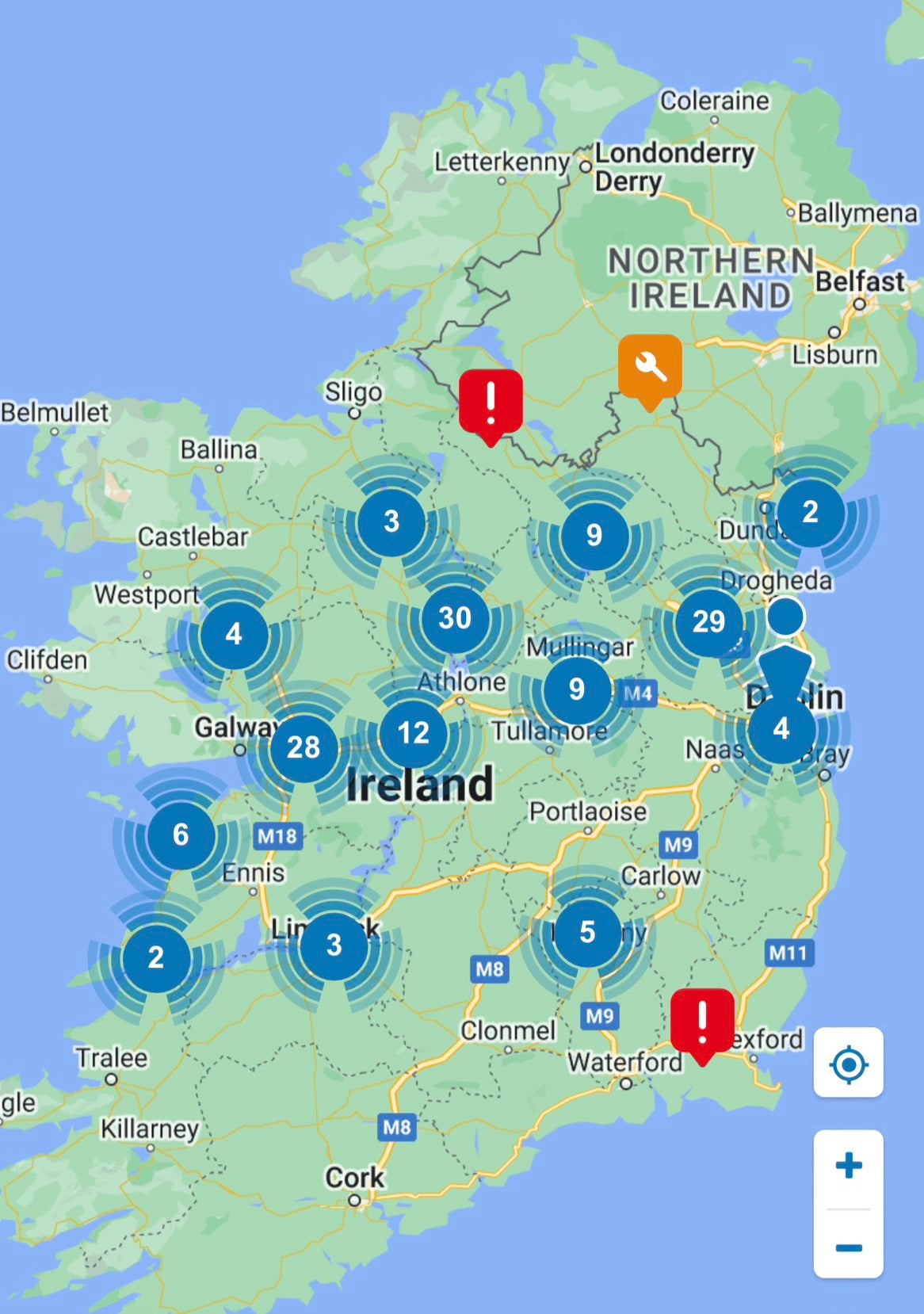
He told RTE radio: “As soon as it is safe to do so, we will be deploying our crews.
“Obviously, the storm is still impacting different parts of the country so we’ll be slow to send out crews until it is safe to do so, but any emergency calls are being attended to.
A gust of 115kph was recorded at a Met Eireann weather station in Athenry, Co Galway, on Monday morning.
Storm Debi branded ‘Most intense storm so far’ - Irish official
The Irish national director for fire and emergency management has said Storm Debi is “probably the most intense storm” of the season so far.
Keith Leonard said: “It was probably the high winds of that leading edge of the storm as it came across the country that was the most hazardous piece. So probably the most intense storm we’ve had so far in the season.”
He said there is a “general trend” of coastal flooding, for example in Galway City and Oranmore.
He told RTE radio: “But, thankfully, not too much structural damage being reported at the moment.”
In pictures: Storm Babet wreaked havoc across country last month
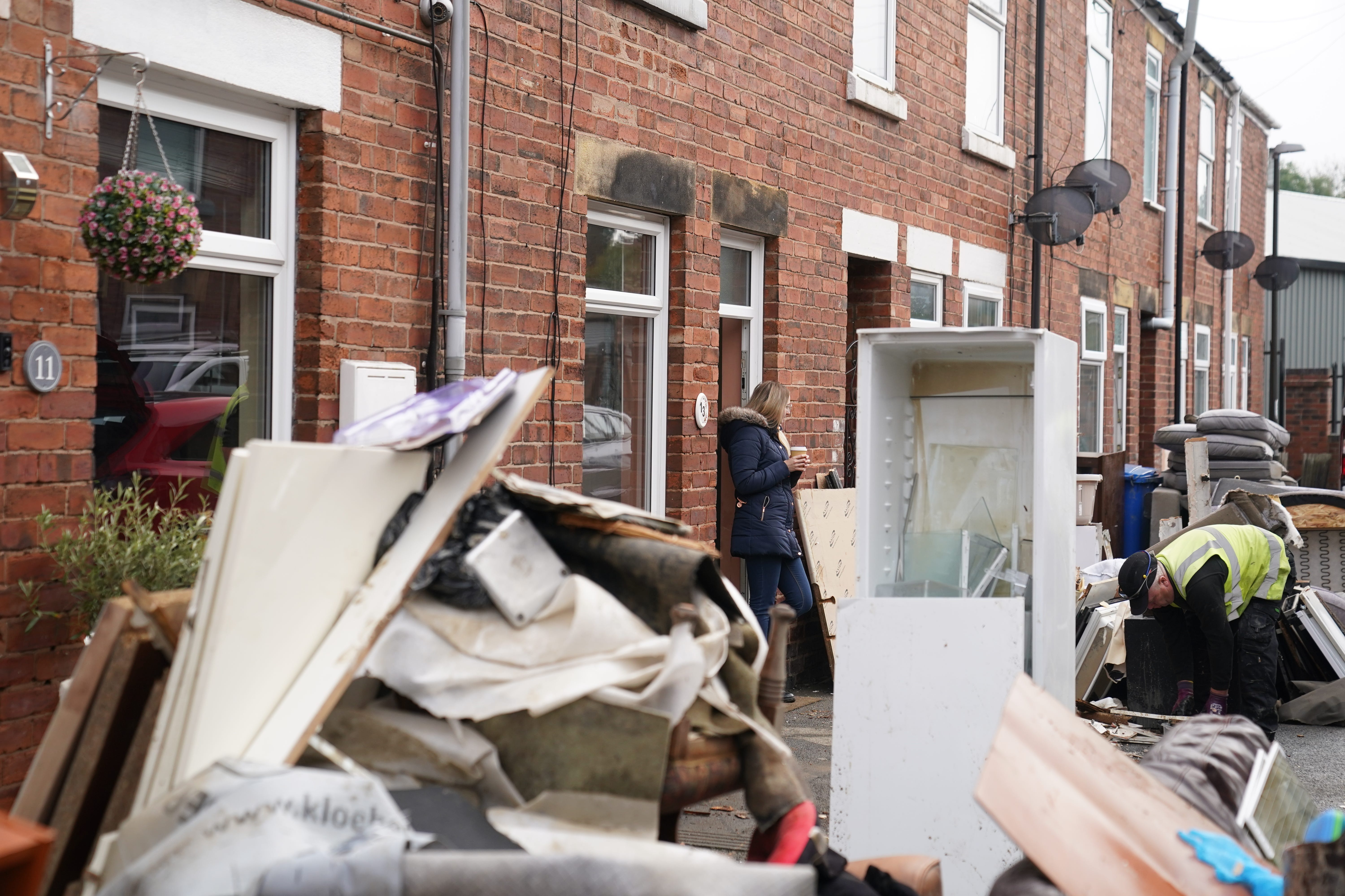
A resident looks at a local authority worker collecting damaged furniture from outside a property on Sherwood Street in Chesterfield, as the clean up began in the aftermath of Storm Babet
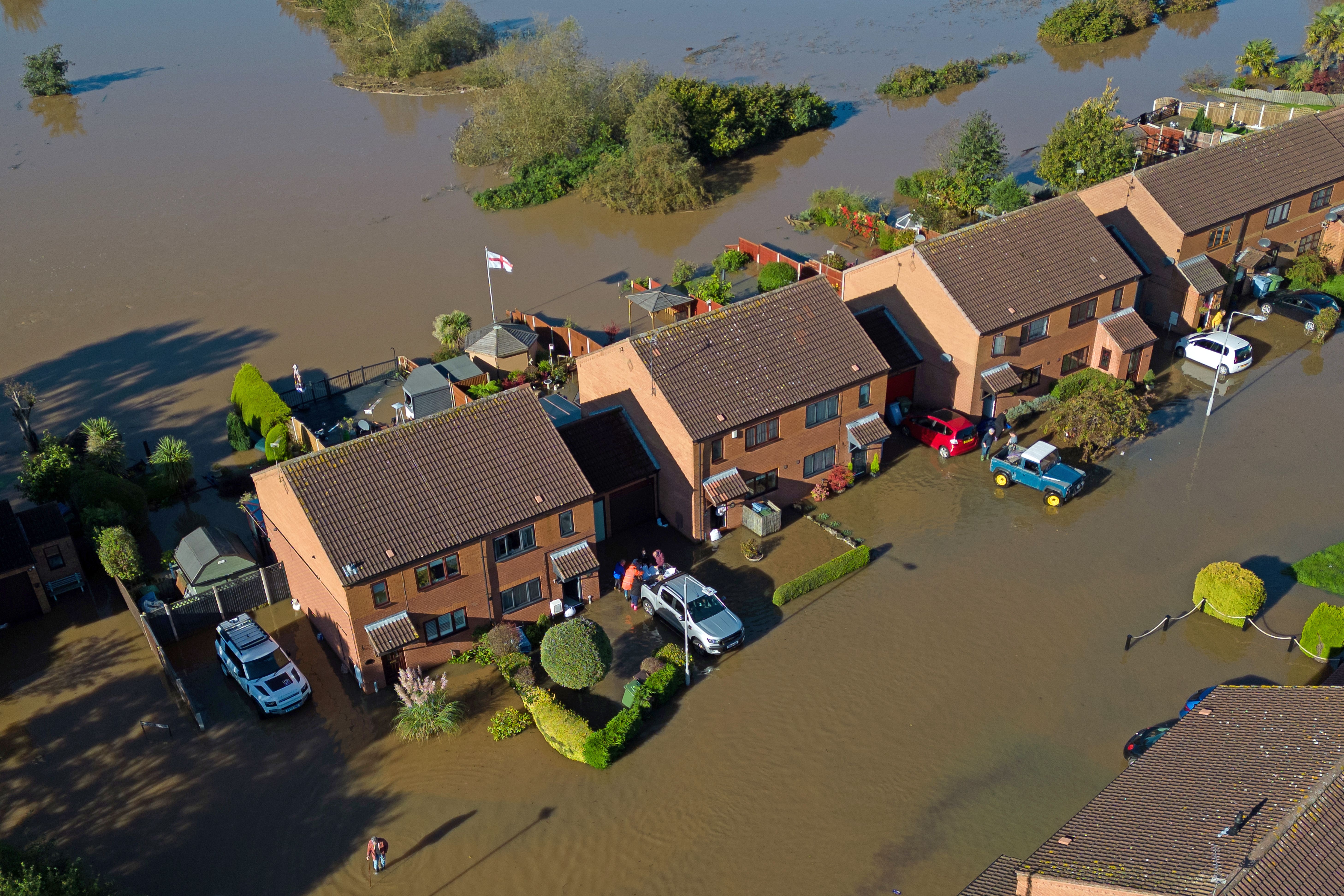
Retford in Nottinghamshire was flooded after Storm Babet battered the UK

Wendy Taylor, 57, who died after being swept into the Water of Lee, Glen Esk, was among those who last their lives in Storm Babet
Scale of the damage will be clearer in daylight, says minister
Junior minister Patrick O’Donovan has said the scale of the damage in Ireland caused by Storm Debi will be clearer when it is brighter.
Mr O’Donovan, who has responsibility for the Office of Public Works, said the advice is to drive with extreme caution in areas where a weather warning was or is in place.
He told RTE Radio: “The local authority crews will (have only started) going out in the last while when the red warning was lifted in some counties. Once first light is achieved, they’ll be able to see the scale of the damage.
“We won’t be able to ascertain the full damage until later on in the morning.”
He said the national emergency co-ordination group was due to meet at 11am.
Tens of thousands of homes without electricity
Power outages have been reported across Ireland as tens of thousands of homes are without electricity after Storm Debi battered the island overnight.
Spot flooding has been reported in areas of the west coast, including Salthill in Galway.
Trees are down in multiple locations, with drivers facing difficult conditions.
In pictures: Storm Ciaran battered UK earlier this month

Local residents collect bottles of water in Godalming, Surrey, as almost 12,000 people were without running water in after Storm Ciaran
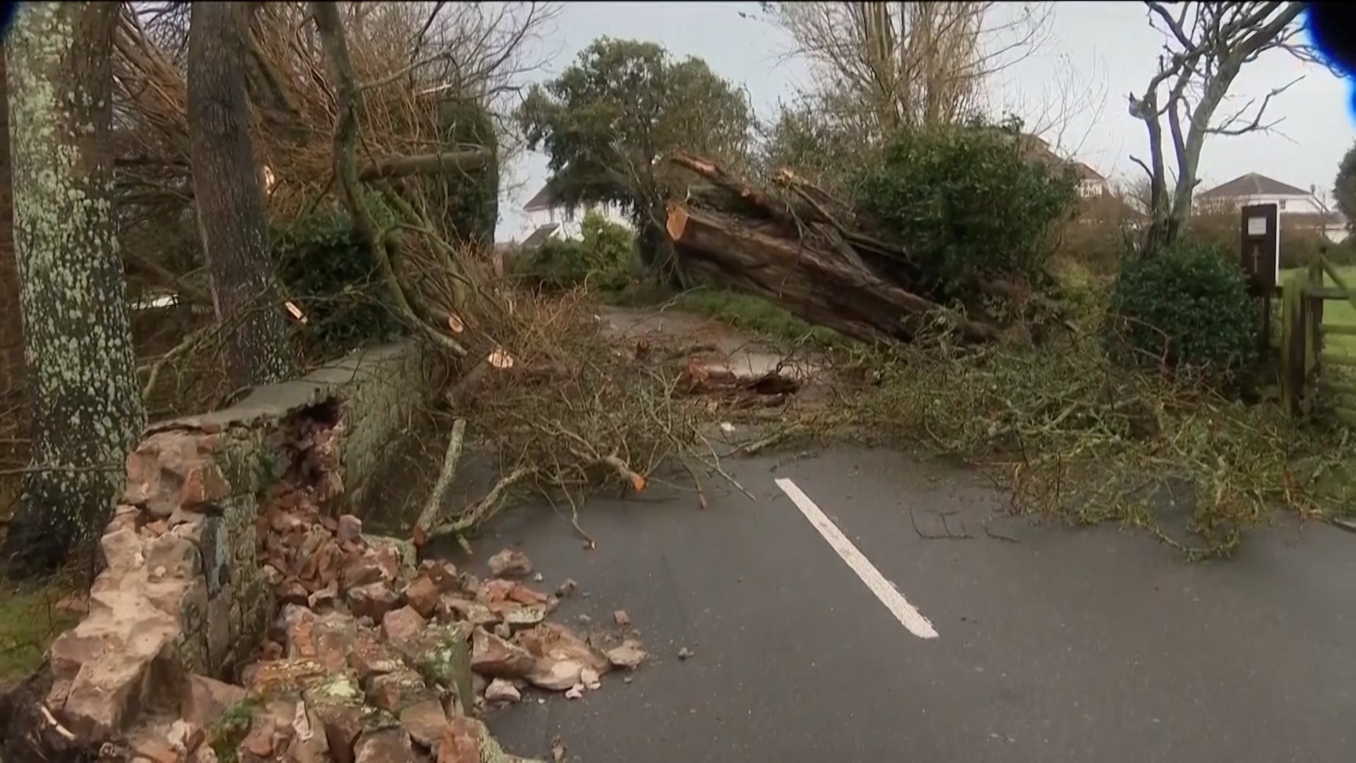
The devastating aftermath of Storm Ciaran in Jersey captured by drone
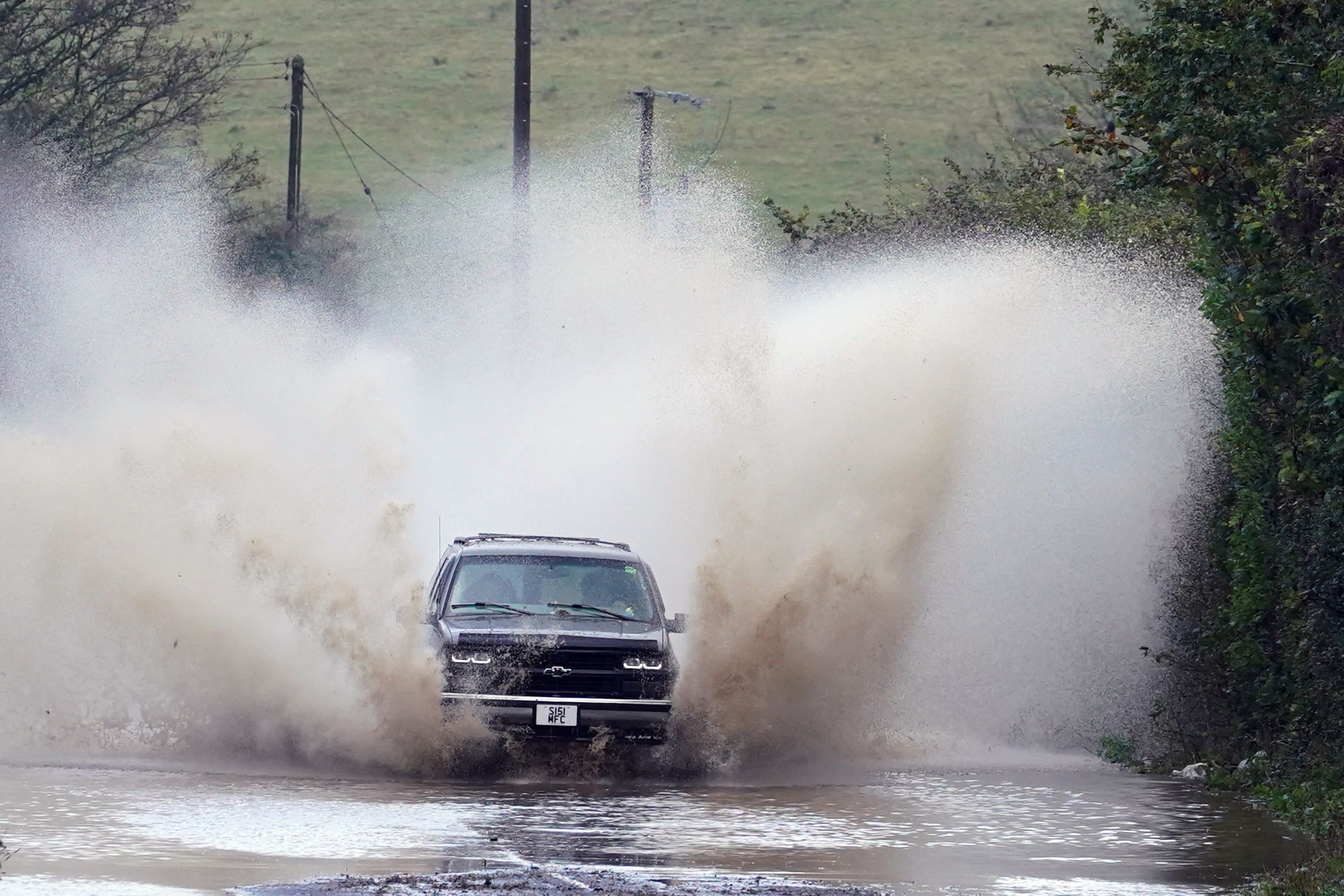
Storm Ciaran brought high winds and heavy rain along the south coast of England
Storm Debi 'developed rapidly overnight,' says Met Office
The Met Office says Storm Debi, the fourth named storm of the season, "developed rapidly overnight" and is now set to unleash heavy winds on the UK.
The storm has developed, in part, because of a very strong jet stream crossing the Atlantic, the forecaster says.
The core of the jet stream is currently located to the south of the UK.
This strong jet stream is responsible for the very unsettled period of weather we are currently experiencing. Further areas of low pressure are forecast to develop and affect the UK during the coming week.
“Storm Debi has developed rapidly overnight and will bring impacts across parts of the UK today," Matthew Lehnert, a Chief Meteorologist with the Met Office, says.
"Because of the particular risk of impacts to parts of County Armagh and County Down this morning and parts of northwest England through much of the day we have issued two amber wind warnings.”
Within the warning areas the strongest winds are expected to reach 75mph, or even 80mph, in exposed coastal locations today, while inland areas are expected to see gusts of 60-65mph.
Two amber wind warnings for southeast Northern Ireland and northwest England are embedded within broader yellow warnings already in force across the whole of Northern Ireland, northern England and parts of Wales.
https://news.google.com/rss/articles/CBMiWmh0dHBzOi8vd3d3LmluZGVwZW5kZW50LmNvLnVrL3dlYXRoZXIvd2VhdGhlci13YXJuaW5ncy1zdG9ybS1kZWJpLW1ldC1vZmZpY2UtYjI0NDYxODUuaHRtbNIBAA?oc=5
2023-11-13 09:05:21Z
2594699275

Tidak ada komentar:
Posting Komentar