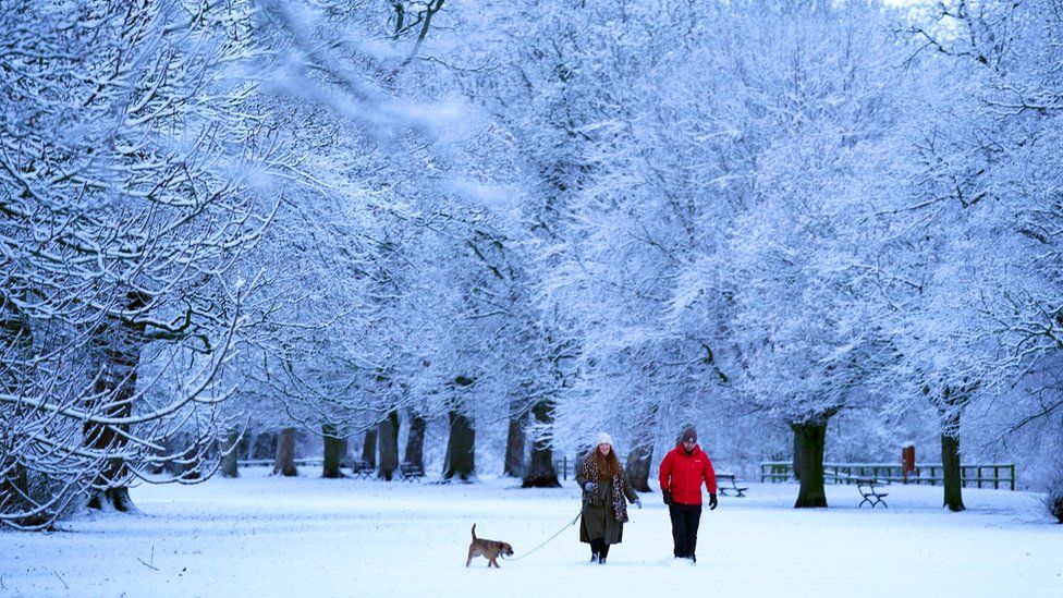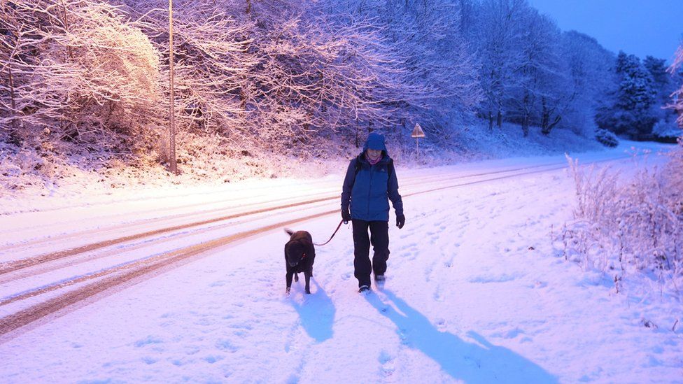
Drivers have been told to leave extra time for their morning commute due to icy roads, amid warnings for ice and snow across the UK.
Met Office yellow warnings for ice are in place across all nations until 10:00 GMT, with the cold weather set to stay.
A sharp widespread frost, with lows of -4C to -8C, is expected overnight into Tuesday.
Snow has hit south-east England and a yellow warning for snow and ice is in place for Scotland until Wednesday.
BBC forecaster Billy Payne said a few centimetres of snow had fallen in parts of Scotland and northern England overnight, even on low ground - with 18cm (7in) recorded at Loch Glascarnoch in Scotland.
Further frost and ice risks are expected over the next few nights and daytime temperatures should stay low, he said.
But BBC forecasters said major weather disruption, like in December, was not expected.
Met Office meteorologist Craig Snell warned Monday morning commuters to leave plenty of time for their journeys, due to "a risk of snow on high ground and slippery surfaces on lower areas".
He added: "This could be a problem during rush hour, it could cause a few problems on the roads. The risk of flooding is still there."
The yellow warning for ice covers Northern Ireland, northern Wales, northern England, northern Midlands and southern Scotland until 10:00.
⚠️ Yellow weather warning UPDATED⚠️
Icy surfaces across Northern Ireland, southern Scotland, northern England, northern Wales and northern Midlands
Now – Today 1000
Latest info 👉 https://t.co/QwDLMfS950
Stay #WeatherAware⚠️ pic.twitter.com/BGtt7VEGdq
— Met Office (@metoffice) January 16, 2023
Snow has also fallen across the south east of England after a yellow warning was in place for Kent and Canterbury until 08:00.
BBC forecasters said the snow in south east and northern England would ease throughout the morning.
Mr Snell said most of the nation would be dry with sunny spells through the rest of Monday.
The rest of the week is predicted to be cold with patchy showers, particularly in northern areas, until temperatures rise at the weekend.

In northern Scotland, a yellow warning for snow and ice covers the area until 10:00 on Wednesday.
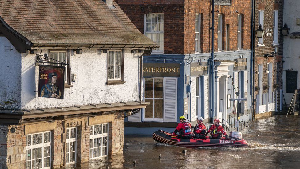
The cold snap comes after widespread flooding left parts of the UK submerged over the weekend - with more than 106 flood warnings and 175 flood alerts still active across England.
Sarah Cook, from the Environment Agency, said workers on Monday would continue dealing with flooding in the areas which were worst hit by the weekend deluge.
She added the rain on Sunday night in the south of England could give rise to the possibility of a minor risk of flooding to isolated properties, and she advised people to to stay away from swollen rivers and to avoid driving through flood water.
The Met Office's Rachel Ayres said a widespread frost expected overnight could see some flood water on roads freezing.
This "could pose an ice risk" on Tuesday, she said.


How have you been affected by the adverse weather conditions? Tell us by emailing: haveyoursay@bbc.co.uk.
Please include a contact number if you are willing to speak to a BBC journalist. You can also get in touch in the following ways:
- WhatsApp: +44 7756 165803
- Tweet: @BBC_HaveYourSay
- Upload your pictures/videos here
- Or fill out the form below
- Please read our terms & conditions and privacy policy
If you are reading this page and can't see the form you will need to visit the mobile version of the BBC website to submit your question or comment or you can email us at HaveYourSay@bbc.co.uk. Please include your name, age and location with any submission.


https://news.google.com/__i/rss/rd/articles/CBMiJGh0dHBzOi8vd3d3LmJiYy5jb20vbmV3cy91ay02NDI4NDI1NdIBKGh0dHBzOi8vd3d3LmJiYy5jb20vbmV3cy91ay02NDI4NDI1NS5hbXA?oc=5
2023-01-16 09:27:33Z
1724371151
Tidak ada komentar:
Posting Komentar