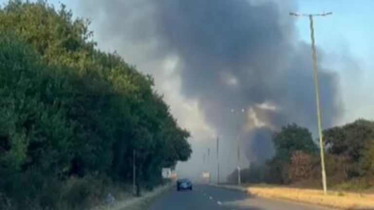
The UK is braced for several days of thunderstorms after a hot weekend which saw parts of the country grapple with wildfires - but the change in weather is likely to bring more danger rather than relief, meteorologists have warned.
A lack of rain and high temperatures have caused drought conditions which have turned much of the country's landscape from green to brown and yellow.
An amber heat warning remained in place on Sunday, as temperatures stayed north of 30C in parts of the UK.
Significant fires have been reported in parts of London, Kent, and Essex over the past two days, while the weather has also resulted in incidents of people getting into difficulty while swimming in lakes, rivers, and the sea.
UK weather latest: Search under way for person in Thames
Fire and rescue services have been tackling an enormous number of wildfires around the country, especially in the South East, where there has been little rain at all since January.
One of Sunday's major blazes, at Bawsey Country Park, near King's Lynn, Norfolk, has been blamed on a disposable barbecue being "thrown" into woodland - resulting in the arrests of two men on suspicion of arson.
Several services have described the recent demand as "unprecedented", with Dorset reporting that during the first 10 days of August, it attended 180 wildfires - compared to just 34 last year.
And the four days of thunderstorms expected next week are not likely to offer much relief.
Instead, the driest conditions in almost 50 years, which have water levels in reservoirs visibly lower and drought officially declared in eight areas of England on Saturday, may lead to flooding.
The thunderstorms are likely to bring significant rainfall, but it may be too much too soon.
Geographers and meteorologists say that the best type of rain to bring the earth out of its parched state would be a light drizzle.
Instead of soaking into the baked ground, the downpours that are expected could lead to large amounts of surface run-off - potentially causing sudden flooding and even power cuts, the Met Office has warned.
Read more:
What happens during a drought and how can you help?
How little rain has your area had compared to previous years?
Thunderstorm warnings in place to start the week
Met Office forecaster Dan Stroud explained that the "rain from really intense downpours will be unable to soak into the baked ground quickly".
"It's very difficult for the water to actually get in because it has to force the air out of the soil. So dry ground gets very quickly overwhelmed, and we then get surface run-off," he added.
The Met Office has issued yellow warnings about the thunderstorms, saying they could cause significant disruption on Monday across all but the most northern parts of the UK.
Get the five-day forecast where you are
"Spray, and sudden flooding could lead to difficult driving conditions and some road closures," it said.
"There is a small chance that homes and businesses could be flooded quickly, with damage to some buildings from floodwater, lightning strikes, hail or strong winds.
"Where flooding or lightning strikes occur, there is a chance of delays and some cancellations to train and bus services.
"There is a slight chance that power cuts could occur and other services to some homes and businesses could be lost."
The yellow warning for thunderstorms will drop south throughout the week, affecting just England on Tuesday, and then the very south of England on Wednesday.
No warnings are in place for Thursday.
https://news.google.com/__i/rss/rd/articles/CBMinAFodHRwczovL25ld3Muc2t5LmNvbS9zdG9yeS91ay13ZWF0aGVyLWZvdXItZGF5cy1vZi10aHVuZGVyc3Rvcm1zLXRvLWJyaW5nLW1vcmUtZGFuZ2VyLWFuZC1ub3QtcmVsaWVmLWFmdGVyLWNvdW50cnktc2NvcmNoZWQtb24td2Vla2VuZC1vZi13aWxkZmlyZXMtMTI2NzMzNjjSAaABaHR0cHM6Ly9uZXdzLnNreS5jb20vc3RvcnkvYW1wL3VrLXdlYXRoZXItZm91ci1kYXlzLW9mLXRodW5kZXJzdG9ybXMtdG8tYnJpbmctbW9yZS1kYW5nZXItYW5kLW5vdC1yZWxpZWYtYWZ0ZXItY291bnRyeS1zY29yY2hlZC1vbi13ZWVrZW5kLW9mLXdpbGRmaXJlcy0xMjY3MzM2OA?oc=5
2022-08-14 20:23:56Z
1532612255


Tidak ada komentar:
Posting Komentar